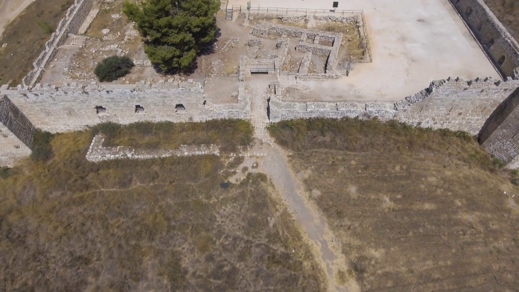

Tel Afek owes everything to water. The mound stands at the sources of the Yarkon, one of the few permanent rivers of the coastal plain, at a point where the marshes narrow the passage between the sea and the hills — the natural bottleneck through which armies and caravans had to pass. Settlement here goes back to the Canaanite period, and the site was fortified and refortified across the ages. In the Roman era a city named Antipatris was laid out on the mound, and excavation has revealed its street lines and public buildings. Above them rises the most visible structure today: a later fortress of the Ottoman period, a square enclosure with corner towers whose walls still stand to a considerable height. Around the ruins spreads a national park of springs, reeds, water channels and open lawns, rich in birdlife. Filmed in 4K, with aerial coverage that makes the geometry of the fortress and the buried city plan legible at a glance, the programme reads Tel Afek as a case study in historical geography: how one spring, one narrow pass and one low hill can determine three thousand years of strategy.